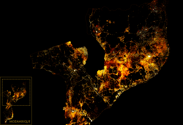
 Maps created in GeoAtlas can be published on ArcGIS online. Once published, same map and its layers can be consumed in GeoAtlas, ArcMap for high value work or even can be viewed on webs interface to make the high level decision making. The complete story is published on my LMKR website.


